Why Idaho Water Data Matters to the Future of Farming
In Idaho, water is the input that decides the season. The growers who win the next decade will be the ones who treat water as data, measured, mapped, and documented at the field level. Here is why that shift matters, and how it builds on the water intelligence Idaho already runs.
Water Is Idaho’s Real Currency
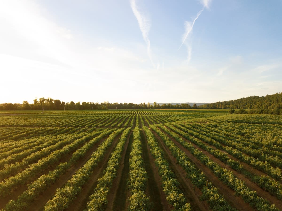
Ask a farmer in Rexburg what the season turns on, and the answer is rarely the seed or the equipment. It is water. How much fell over winter, how the snowpack is holding, how the canal call shakes out, and how evenly the pivot is putting it down across the field.
Idaho is one of the most productive farm states in the country, and almost all of that production runs on irrigation. Eastern Idaho sits on top of the Eastern Snake Plain Aquifer, one of the largest and most productive aquifers in the United States, and the Snake River system that feeds it. Generations of potato, grain, and forage operations have been built on that water.
That is the part outsiders miss. In Idaho, water is not a background utility. It is the limiting input. And the future of farming here belongs to the growers who stop guessing about it and start measuring it.
Idaho Already Treats Water as Data
This is not a new idea in Idaho. The state has been managing water as information for a very long time.
The Idaho Department of Water Resources (IDWR) administers one of the most detailed water-rights systems in the West, built on the prior-appropriation doctrine of “first in time, first in right.” Water districts measure deliveries. Diversions are recorded. Managed aquifer recharge is tracked. Snowpack, streamflow, and reservoir levels are monitored season-round.
IDWR even convenes a standing Water Supply Committee that pulls together the agencies with a stake in the state’s water picture, including the Idaho Department of Agriculture, the University of Idaho Cooperative Extension Service, the U.S. Bureau of Reclamation, the National Weather Service, the Natural Resource Conservation Service, the U.S. Geological Survey, and others. Idaho also hosts national-scale research institutions like Idaho National Laboratory, part of a deep bench of science and engineering capacity rooted in the eastern part of the state.
The point is simple. Idaho already understands that good water decisions come from good water data. The infrastructure to measure water at the basin and district level is mature, public, and respected.
The Gap Between the Basin and the Acre
Here is where the opportunity lives.
State-level water data answers state-level questions. How is the aquifer trending? Is the reservoir system on pace? How should a basin be administered this year? That information is essential, and it is already strong.
What that data was never designed to do is tell a grower what is happening in the northeast corner of a specific 193-acre field, on a specific afternoon, three days after a stress event. The basin view and the acre view are different problems. The grower lives at the acre.
For most of farming history, the acre-level water picture has been read by eye and by feel. Walk the field. Check the pivot. Dig down and squeeze the soil. That experience is real and it matters. But it does not scale, it does not get documented, and it does not leave a record you can compare season over season.
Closing that gap, turning the grower’s field-level instinct into measured, mapped, repeatable data, is the next chapter of Idaho farming.
What Field-Level Water Intelligence Looks Like
This is the work AG AI PRO is built for. Not replacing Idaho’s water institutions, but extending that same data discipline down to the individual field.
Drone-based field monitoring reads variability across a field that looks uniform from the road. Multispectral and NDVI imaging detects crop stress before it is visible from the cab. Thermal and moisture-related field signals help identify where a field is working hard and where it is not. As the saying in the industry goes, plants effectively scream when they are thirsty, long before a person standing at the edge of the field would ever notice.
Captured from the air and logged over time, that information becomes a field-level water and stress record. A grower can see which zones are under pressure, document the condition with a date and a location, and watch how those patterns repeat across seasons. That is detection and documentation, the same logic Idaho already applies to the aquifer, applied to the acre.
None of this changes a grower’s water rights, their canal call, or their irrigation program. It simply gives them a clearer, recorded picture of how the field is responding, so their decisions are backed by data instead of memory.
Built by People Who Actually Farm Here
This matters most because of who is doing the work.
AG AI PRO’s field operations are led in Idaho by Brian Bybee, a working potato grower who co-owns and operates Valley Point Farms in Rexburg, along the Snake River Plain. Brian also serves on the Madison County Agricultural Protection Area Committee, where protecting farmland and supporting local growers is the entire job.
That is not a corporate field team flown in for a demo. It is a grower applying field intelligence on the same kind of ground his family has farmed for years, in a community where water is discussed at the kitchen table. When the people building the technology also have to live with the season it produces, the technology stays honest.
Farmers trust farmers. In Idaho, they trust the ones who understand water.
The Future Is Documented, Not Guessed
The next decade of Idaho agriculture will reward operations that can answer hard questions with records instead of recollection. What did this field do under stress last July? Which zones consistently run short? How did the season actually unfold, acre by acre?
Idaho built world-class water data at the basin scale. The future of farming is bringing that same standard down to the field, where the grower makes the call. Measured. Mapped. Documented.
In a state where water decides the season, that is not a luxury. It is the next generation of stewardship.
AG AI PRO provides drone-based field intelligence, crop monitoring, and field documentation for growers across Idaho, Arizona, Iowa, and Hawaii. To talk about a side-by-side trial on your operation, reach us at AGAIPro.com.
AGAIPro.com | Matt@AGAIPro.com | ID | AZ | WY